Last weekend I finally crossed something off my Arizona bucketlist that I've wanted to do since I got out here for grad school: camp on top of the Flatiron in the Superstition Mountains. Before I got to Arizona I was researching the best hikes to do and the Siphon Draw Trail to the Flatiron at Lost Dutchman State Park consistently came up. Within the first week of moving to Arizona I completed the hike for the first time and as I descended from the summit I ran into a group of backpackers who were slowly heading for the top. "You're allowed to camp up here?" I asked, "That's so cool!". I promised myself before I graduated I would spend the night at the top of the Superstitions and with graduation looming next week last weekend was the perfect time to do it.
The Superstitions are appropriately named for the numerous legends and myths surrounding the peaks. When settlers first arrived in Arizona they heard Pima legends about the mountain range, stories that the mountains were haunted with the ancestors of indigenous people or home to wicked spiritual deities. The mountain range has only grown more mysterious since European settlement in the area, particularly due to the legends of the Lost Dutchman's Gold Mine. Lost Dutchman State Park, the site of the Siphon Draw Trailhead at the base of the Superstitions, is named after the tale.
According to legend, a family from Mexico, the Peraltas for whom the Peralta trail is named, discovered a gold mine in the superstitions around 1840. As they attemped to bring the gold back to Mexico they were attacked and killed by Apaches and the mine was lost. 30 years later a German immigrant named Jacob Waltz (German, Dutch, who cares. Arizonans are not too concerned with the details) supposedly found the mine with his partner, Jacob Weiser, who was mysteriously killed, leaving only Jacob Waltz aware of the location of the mine. The mine has been lost ever since Waltz's death and is rumored to be somewhere in the vicinity of Weaver's Needle. This has led many people to attempt to locate the mine, resulting in the deaths and disappearances of several people who become lost, run out of water, or fall to their deaths.
Goldmine or not the Superstitions themselves are an incredible attraction. Towering rock spires have been carved from the eroding volcanic caldera, making for some very unique and interesting geology. The mountains are part of the Tonto National Forest and have been designated as a federally listed Wilderness Area. During the spring after winters with high precipitation the base of the mountains at Lost Dutchman State Park become a field of golden flowers from the blooming Brittlebrush and Palo Verdes. The area is also home to a wide variety of desert wildlife.

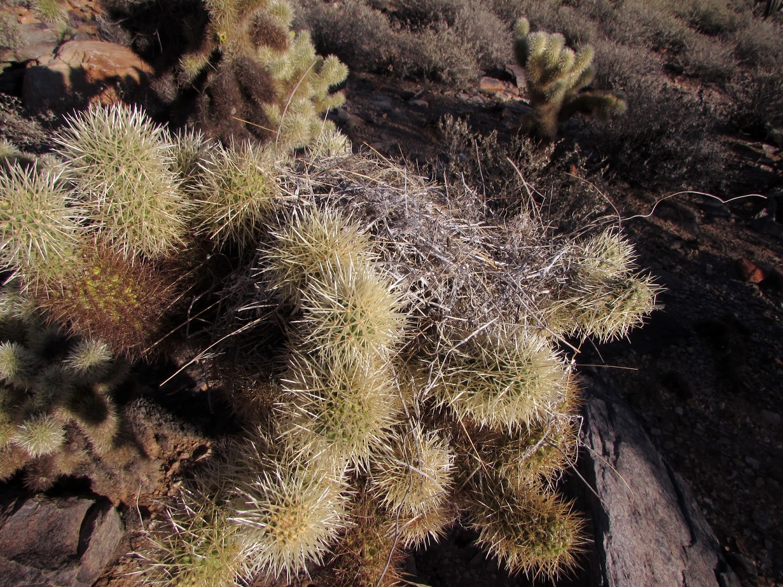
Our hike started at the Siphon Draw Trailhead in Lost Dutchman State Park. Entry fees are $7 per vehicle with a $5 additional overnight fee if you are camping on top of the Flatiron. The hike takes about 6 hours round trip so it can easily be done in a day. The first mile or so of the hike goes through open desert with plenty of Giant Saguaro and other desert vegetation. The trail is relatively gentle in slope so not much elevation is gained. Along the way the trail passed through a gate to enter to the Superstition Wilderness, leaving Lost Dutchman State Park behind.


The next half mile gets much steeper and within a mile and a half the trail enters a basin of polished rock where water is "siphoned" from the Superstitions. From this point forward the trail becomes very steep, required alot of rock scrambling and climbing to get to the top. Over the last mile and a half of the trail, a majority of the nearly 3000 ft. elevation will be gained.
 |
| Canyon Wren |


Once the top of the draw is reached there are several options to explore. Following the trail to the left will take you to a scenic overlook at Lost Dutchman State Park. There is also a memorial to a family that was killed in a plane crash on the mountain in 2011. Heading to the right will take you to the Flatiron, which will provide an incredible view in each direction. The view from the Flatiron is panorama, Four Peaks to the north, Gold Canyon (my favorite golf course in Arizona) to the south, the Valley to the west, and the Superstitions to the east.


We put up the tent, which was more difficult than usual due to the high winds on the Flatiron. After cooking a backpacker's meal of Mountain House Teriyaki Chicken, which wasn't bad!, we were treated to an incredible sunset and amazing views of the city lights coming on below. As darkness set in we had an unbelievable panorama of lights coming from the sprawl of metropolitan Phoenix below and the stars above.


We woke up just before sunrise and headed for the summit of the Superstitions, a 15-20 minute scramble up some boulders from the top of the draw. We arrived at the summit just as the sun was rising over the horizon. It was one of the most beautiful sunrises I've ever seen. We could see Weaver's Needle in the distance, a 1000 ft. tall spire and rumored marker of the Lost Dutchman's Gold.


Our descent was uneventful and we made it down off the mountain within about 3 hours. We were incredibly sore the next few days as a result of the steep elevation change but the hike was absolutely amazing and it was one of the coolest places I've gotten to spend the night outdoors.

The hike:
Siphon Draw Trail: 5.9 miles round trip, 2640 ft. elevation gain
There is no water or bathroom on the trail so pack accordingly!
For more information check out Lost Dutchman State Park:
http://azstateparks.com/parks/LODU/index.html
Leave No Trace!