The Sedona area is a very special place to me. When I was little we went on vacation in the Southwestern United States and one of the most memorable places was Sedona. I was amazed at the red rocks and the unique scenery. Once I started grad school Sedona became a favorite spot to hike and fish. I wanted to spend one more weekend in the area before moving back to Illinois and knock something off my bucketlist - camping in Oak Creek Canyon. As I pulled into Cave Springs campground early on Saturday morning the attendant told me that I was in luck because they would be closing for the season the very next day.
After picking out my site I changed into my waders, grabbed my gear, and waded into the creek. Oak Creek is the reason I started fly fishing. One of the first few times I drove along Highway 89A I saw fly fishermen walking along the road and it instantly became something I wanted to do. Catching trout, some of the most beautiful fish, in one of the most beautiful streams I'd ever seen seemed like a dream come true. The creek is open to fishermen provided they catch and release and use only single barbless hooks with artificial flies or lures. Oak Creek is home to Page Springs Fish Hatchery, which stocks rainbow trout and brown trout in Oak Creek and around the State of Arizona. Unfortunately the dream of catching trout in Oak Creek has remained just that. Since I started fly fishing I've made 3 trips up to Oak Creek and been unsuccessful each time, hooking a few but unable to land any. While I've been more successful in other waters around the state, Oak Creek remains my favorite place to fish because of the beautiful scenery. I've never come home disappointed because the scenery more than makes up for the joy of catching anything. This trip in particular wound up turning into a bit of a photo trip instead of actual fishing because of the beautiful fall colors. After nearly 5 hours in the creek near Bootlegger Day Use Area, only a few trout spotted, and a dozen snags, I packed up my gear and hiked back to camp to drop off my fishing gear and start hiking. As I become a better fisherman I can't wait to return to Oak Creek to finally make a catch.

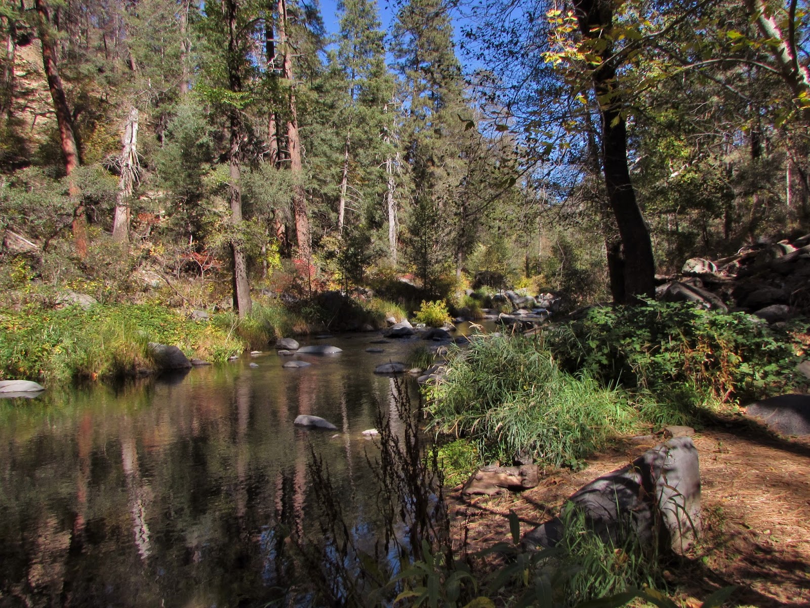

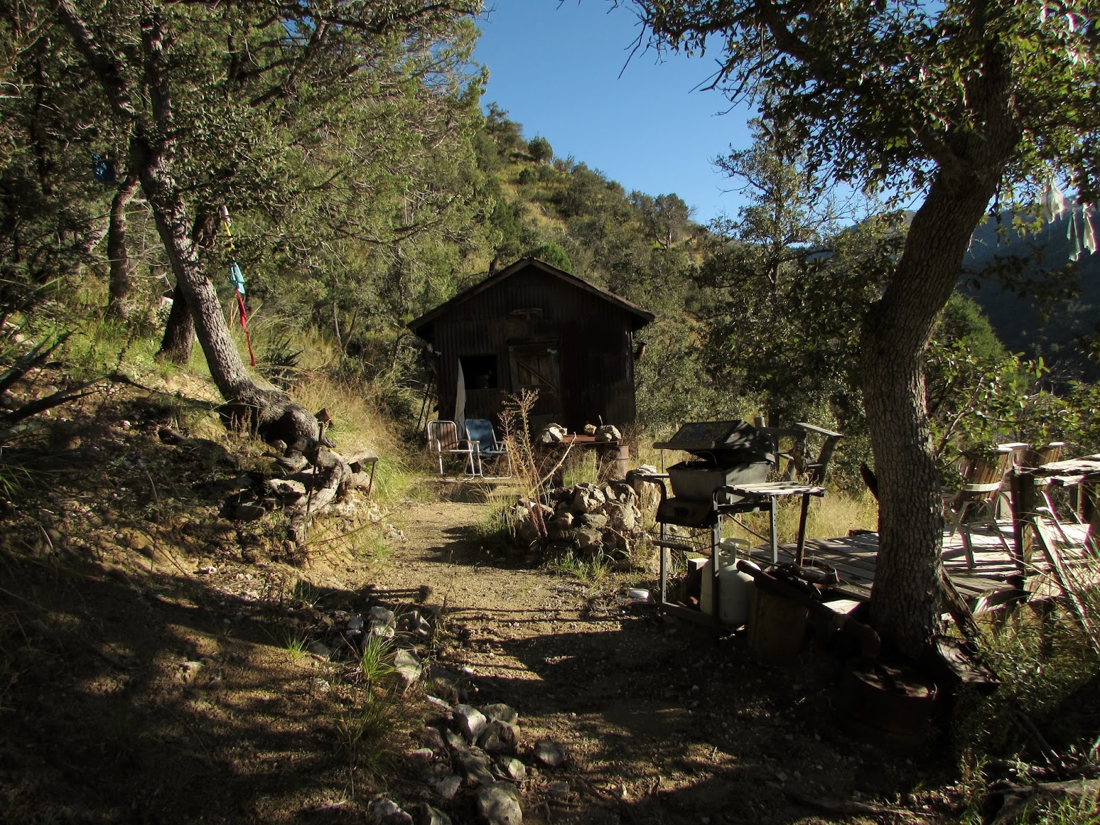
Cave Springs Campground was amazing. The entire campground sits among tall trees with the red walls of the canyon in the distance. The campground was mainly empty due to the cold weather (nothing scares Arizonans away quicker) and the fact that it was Halloween. For $20 per night the campground features drive in sites with picnic tables and fire pits, showers available, and pit toilets (pretty clean too!). Littered among the pines were some deciduous trees at the peak of their leaf colors making the campsite extra pretty. I drove over to Indian Gardens Oak Creek Market for a sandwich, my favorite lunch spot in the area. Sitting among the trees on the back patio is something everyone should do on a visit to Sedona.


The campground is located a short distance from the Call of the Canyon Day Use Area, famous for its West Fork Oak Creek (#108) Trailhead. I hiked along Highway 89A down to the trailhead, which required a $2 walk in entrance fee. Driving in is an option as well but at $10 per car with long lines backing up onto Highway 89A making the hike a bit longer by walking in was well worth it.


The West Fork Oak Creek Trail #108 is a 6 mile round trip out and back. The canyon continues past the official end of the trail, although wading and even swimming is required. With around 200 ft. of elevation change on the trail, it isn't too strenuous although it requires several creek crossings that can get your feet wet. The trail is famous for its winding canyon which features beautiful red rocks carved by the west fork of Oak Creek, towering cliffs overhead, and in the fall beautiful colors from maples, sycamores, and other deciduous trees. The trail begins by crossing through a field that features an old apple orchard that originated in the late 1800s. It also passes the ruins of an old cabin, Mayhew Lodge. The first cabin was built in the 1870s by Bear Howard, a man who eradicated Grizzly Bears from the canyon after a friend was killed by one. The last Arizona Grizzlies were killed in the 1930s.


The trail continues along the west fork, and the views were unbelievable. I was able to make it nearly to the end of the trail before darkness began to set in. As a midwestern who took the changing of leaves every autumn for granted, this hike was just what I had been missing. Paired with the aspens of Flagstaff, I was able to really enjoy the fall colors this year.


As I got back into the parking lot it was nearly dark and I was one of the last few people coming back in off the trail. I hiked my way along Highway 89A in the dark with the aid of a headlamp, something I don't recommend doing. I arrived back to camp for dinner, Zataran's Jambalaya and some Trader Joe's Andouille sausage. After a beer and a cup of hot tea under the stars I went to bed. The stars were spectacular. Despite it being 35 degrees I slept really well and woke up the next morning at dawn. I tore down camp and made my way back through Oak Creek Canyon and Sedona en route to Bell Rock. Along the way I stopped to grab a picture of Cathedral Rock, which was glowing in morning sun.

Bell Rock is one of the most iconic places in Sedona, greeting visitors as they enter the area from Highway 179 off of I-17. It's also a special place because it is one of Sedona's vortex sites, a place where, according to New Age "gurus", the earth's energy converges creating some sort of mystical something or other (If you can't tell I haven't explored my spirituality very thoroughly). In 1987 5,000 people gathered at Bell Rock for the Worldwide Harmonic Convergence. Bell Rock was one of 12 sites around the world that featured global meditation for peace, and rumors spread that the rock would open up to reveal a spaceship (I'm serious). Although the spaceship/world peace hasn't happened yet, I can imagine that the beautiful views made attendance well worth it, kind of like how I keep unsuccessfully fishing in Oak Creek without feeling disappointed. The area is absolutely beautiful and if NPS had gotten to it before the real estate developers, there isn't a doubt in my mind that we could have had a national park here.
The trail to Bell Rock begins at the Bell Rock Vista, which connects to several trails including the Courthouse Butte Loop. I hiked 1.2 miles to the northwest face of Bell Rock, where I began my scramble up to the top.


I wasn't exactly sure how to get to the top of Bell Rock and I didn't want to miss a chance to enjoy coffee on the rock in the sunrise so I made my way around the face of the rock to a ledge about halfway up. I watched the sunrise enjoying one of the most unique early morning cups of coffee I've ever had. After a quick visit from a small wren who was disappointed to find that I didn't have any food to share, I built a small cairn and went on my way.


After finishing my coffee I began to feel the energy of the vortex, or perhaps just the caffeine, and decided to climb to the top of the rock. The hike became very steep, leading up a draw on the northwest face of the rock that turned into borderline rock climbing in some sections. I'm not sure if I got to the top the easiest way but it was extremely fun nonetheless.


The views from the top were pretty awesome. I could see Sedona to the north, Courthouse Butte to the east, Highway 179 to the West, and the Verde Valley to the south. I soaked up my last views of red rock country for the immediate future, promising myself that I would be back one day soon to visit, next time as a tourist from Illinois.


As I descended Bell Rock and made my way back to the car I passed moutainbikers, hikers, and dogs all with a big smile on their faces enjoying the beautiful morning. As I left I reflected on how much I love Sedona and Oak Creek Canyon and how many wonderful memories I have made in the area and I felt a great sense of inner peace. Maybe there is something to these vortexes (vortices?) after all...


The Hikes:
West Fork Oak Creek Trail #108: 6 miles round trip, ~200 ft. elevation gain
Bell Rock: 3 miles round trip, ~500 ft. elevation gain
Leave No Trace!